Physical Object:
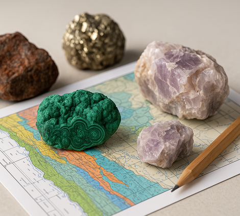
The physical scope of the project includes the investigation and determination of the optimal methodology for producing hydrogeological maps at a scale of 1:100,000. This will take into account the data and standards of major European Geological Institutes (BRGM, BGR, IGME, etc.), the European Geological Surveys (EGS), and the International Association of Hydrogeologists, particularly for areas where geological mapping and hydrogeological data collection were conducted many years ago.
Purpose – Expected Results:
Evaluation of geological, hydro-lithological, hydraulic, and physicochemical data in accordance with modern cartographic standards of the hydrogeological maps of the European Union.


