
Physical Object:
The physical scope of the project involves the development of innovative services that combine the latest advances in Artificial Intelligence (AI) with remote sensing data—primarily multispectral and hyperspectral imagery—across the geoscientific fields under HSGME’s responsibility. This approach is transforming the way geoscientific information is interpreted and produced. The use of computational systems incorporating deep learning technologies enables cognitive computing processes that can significantly enhance geoscientific services. By collecting and analyzing large volumes of useful data, these systems can learn, adapt, and respond to diverse conditions through training and transfer learning, ultimately increasing the quantity and quality of available information.
Purpose – Expected Results:
The goal of the project is to assess the effectiveness of innovative Artificial Intelligence (AI) and Machine Learning (ML) techniques applied to Big Data derived from Earth Observation Systems. This includes the analysis of satellite imagery and data acquired from airborne hyperspectral scanners (UAVs – Remote Sensing) within geoscientific research fields relevant to HSGME’s mandate.
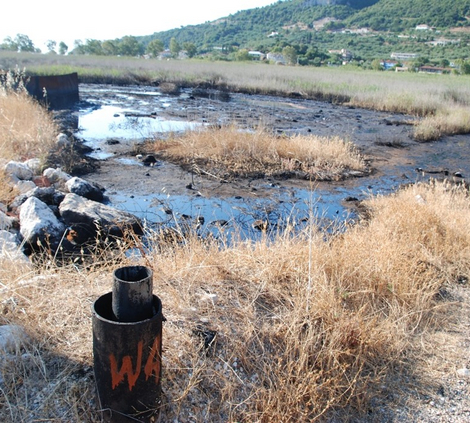
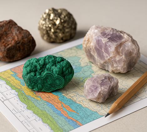
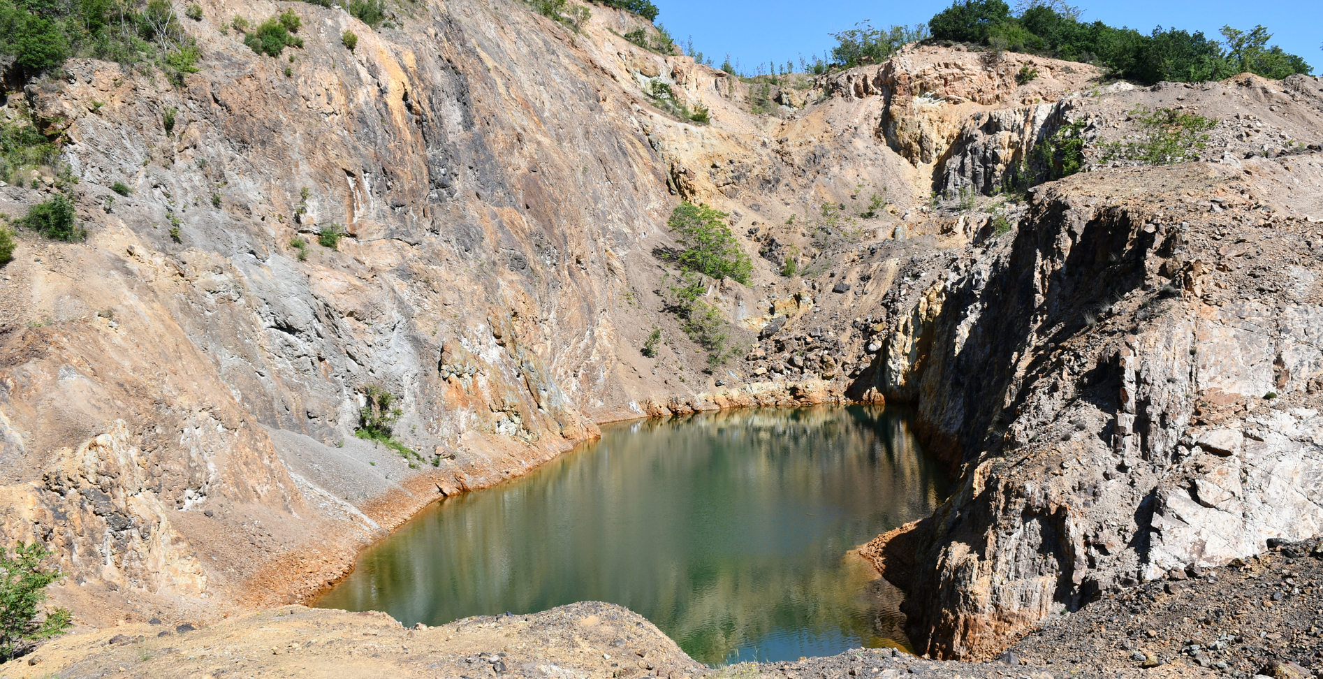
The project will contribute to the development of specialized expertise in automated information extraction from Big Data, focusing on selected characteristics such as aquifer properties, flood and landslide phenomena (identification of erosion and deposition zones), tectonics, lithostratigraphic unit mapping, identification of areas of particular mineral resource interest, and the updating of Ministry of Environment and Energy (YPEN) databases with current data on surface mining activity in Greece.
