
Physical Object:
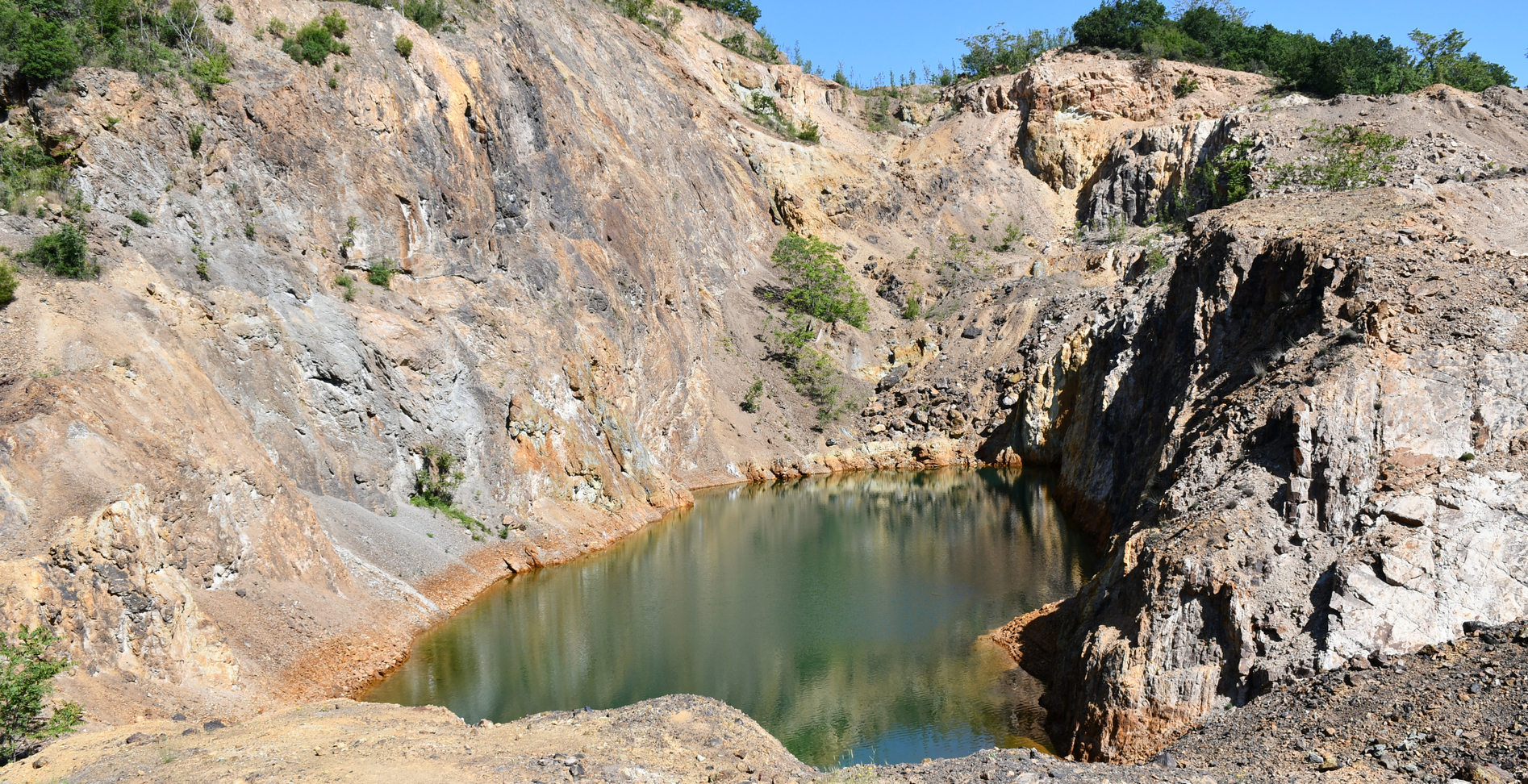
The physical scope of the project concerns the procurement and integration of UAV (Unmanned Aerial Vehicle) technology in Engineering Geology applications for terrain mapping using photogrammetric methods. These methods will provide digital data that, when combined with scientific evaluation, can contribute to a more comprehensive and accurate study of geological structures and phenomena, aiding in the assessment of natural disasters and their associated hazards.
Purpose – Expected Results:
The purpose of the project is to adopt modern terrain-mapping tools to modernize the services provided by the Authority. UAV flight recordings with integrated RGB cameras will enable the collection of high-precision data in various formats—such as high-definition videos and images, point clouds, orthophotos, and digital surface models—supporting a wide range of geological and related surface studies. This technology will replace time-consuming and labor-intensive tasks (such as manual detailed mapping), particularly in hard-to-access areas (e.g., vertical slopes of great height) and in cases of ongoing phenomena (landslides, soil creep, subsidence, etc.).
