Physical Object:
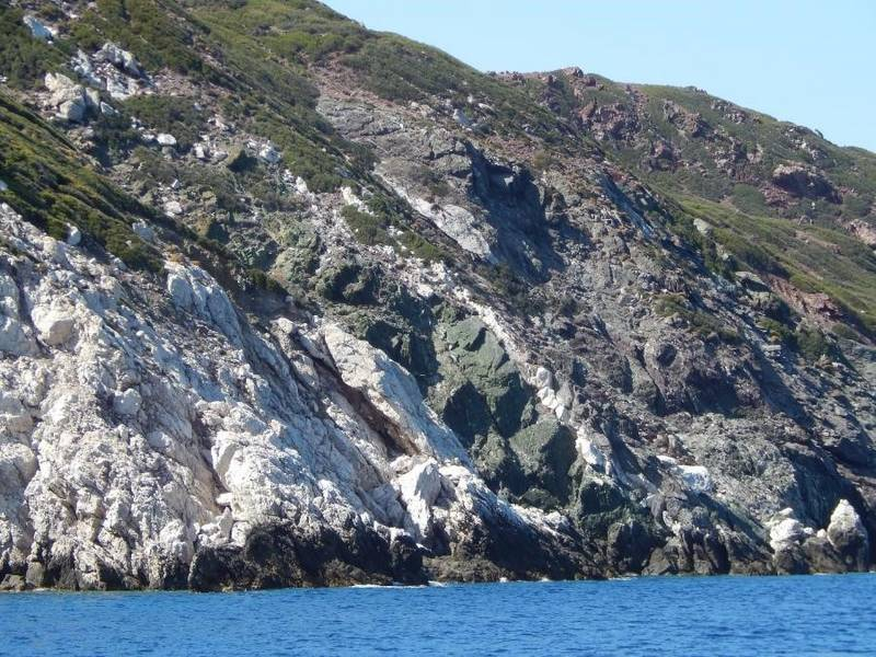
The physical scope of the project concerns the geological mapping of islets and rocky islets, and their digital representation within HSGME’s corresponding digital geological map compositions at a scale of 1:50.000.
Purpose – Expected Results:
Beyond the undeniable geostrategic importance of the proposed project, the geological mapping and depiction of the adjacent islets and rocky islets of the island complexes in the Northern and Southern Aegean Sea are considered highly significant. This effort will contribute to the completion of Greece’s existing digital geological framework and imagery, while also supporting island policy initiatives through regional development and environmental programs (e.g., Natura).

