_1691483091.png)
The purpose of this Action is to collect, update, and harmonize geospatial information across Greece. The project focuses on creating a unified geological framework aligned with European and international standards, based on current geoscientific concepts and implemented through advanced Geographic Information Systems (GIS) tools, methods, and techniques.
Within the project’s scope, 327 geological maps of Greece at a 1:50,000 scale will be reviewed, updated, and standardized according to modern geotectonic theories and scientific studies. A unified coding system for geological formations will be finalized. In addition, the project will define the optimal methodology for geological mapping and the production of modern digital geological maps at a 1:25,000 scale, including the creation of pilot map sheets. The spatial infrastructure for Urban Geology—comprising databases, maps, and studies—will also be expanded through specialized research in the urban area of Lamia, in the region of Phthiotis.
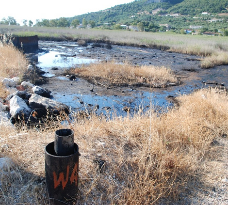
Furthermore, the project includes the study of seabed sediments and subsoil formations in the marine area of the Skyros sheet (scale 1:200,000) and surrounding regions, leading to the publication of a digital, multi-layer thematic map. As part of the Geosites initiative, the recording of new geosites throughout Greece will continue, along with new studies of geotrails and coordinated actions to promote Greek Geoparks. These efforts will utilize innovative WebGIS technologies and the development of mobile applications. The resulting digital geospatial data will provide open access to both the scientific community and the general public.
FUNDING SOURCE
Co-funded Project – NSRF
Operational Programme “Competitiveness, Entrepreneurship and Innovation”
PROJECT BUDGET
€ 2,800,000.00
IMPLEMENTATION PERIOD
2019–2023

