The Hellenic Authority for Geological and Mineral Research (EAGME), in collaboration with the Department of Geology and Geoenvironment of the National and Kapodistrian University of Athens (NTUA), is rapidly advancing the implementation of the project titled “Contribution to the creation of a geomorphological map of Greece at a scale of 1:1,000,000 and pilot large-scale geomorphological mapping of the Naxos sheet.”
The project aims to systematically study the distinctive landforms of Greece and to establish standardized methods for systematic geomorphological mapping at a scale of 1:50,000, with Naxos Island serving as the pilot area. The scientific leads for this initiative are Dr. Irini Zananiri, MSc Alexandra Zervakou, and MSc Alexandros Petropoulos from EAGME, and Professor Dr. Dr. MSc Niki Evelpidou from NTUA, along with her research team composed of MSc Giannis Saitis, Dr. Anna Karkani, and Professor Emeritus Hambik Maroukian.
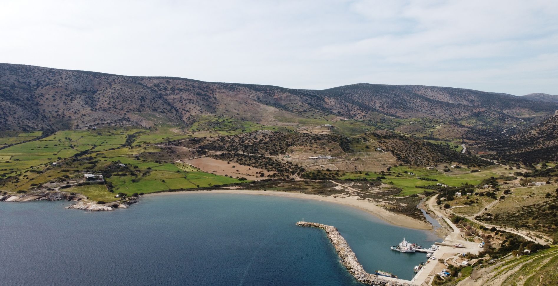
Having already conducted research on the establishment of the first official Greek geomorphological maps, a joint EAGME–NTUA team carried out intensive geomorphological mapping on Naxos. The team documented the island’s geomorphological features, revealing a large number of significant surface landforms.
By recording the geomorphology of Naxos at a scale of 1:50,000 and of Greece at a scale of 1:1,000,000, a preliminary tool is being developed for land management and for addressing geomorphological and geological hazards (e.g., landslides, floods, erosion, etc.), while also providing essential data for other fields of environmental research. This information is valuable on multiple levels — (a) for regional and municipal authorities in strategic planning, (b) for the development of geotourism, (c) for the prevention of potential geomorphological hazards (e.g., landslides, floods, terrestrial and coastal erosion), and (d) for advancing geoscientific research. The first official Greek geomorphological maps will serve as a reference point and a modern, multifunctional tool, as the data will be available in GIS format with extensive databases and metadata.
Geomorphology is the scientific discipline that studies the shape and features of the Earth’s surface. A central question in geomorphology concerns the evolution of the terrain (covering the past, present, and future) and the processes that shape it. The science of geomorphology contributes to understanding relief and landforms, predicting and mitigating natural hazards (such as landslides, floods, and erosion), and identifying and utilizing natural resources (such as water and minerals).