The Hellenic Survey of Geology and Mineral Exploration (H.S.G.M.E.), within the framework of projects carried out by the Department of General Geology, Geological Mapping and Applications, is mapping some of the most inaccessible areas of Greece, completing the country’s geological profile.
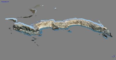
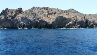
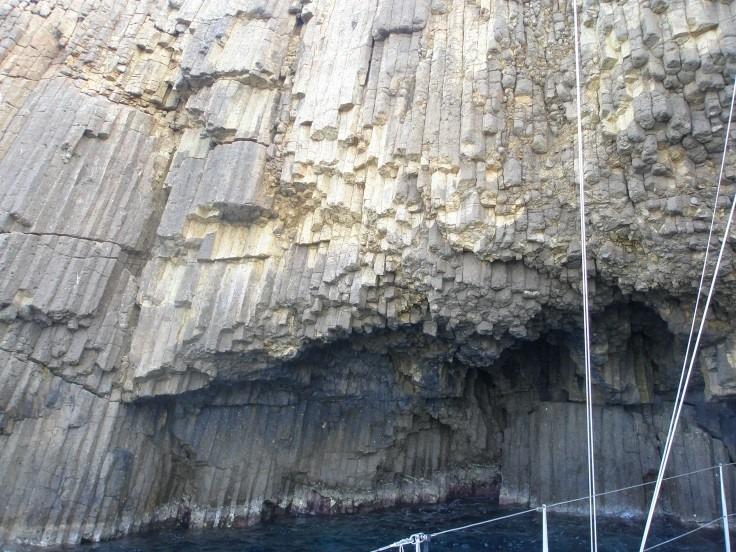
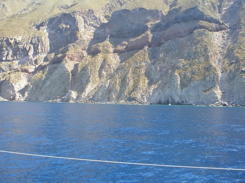
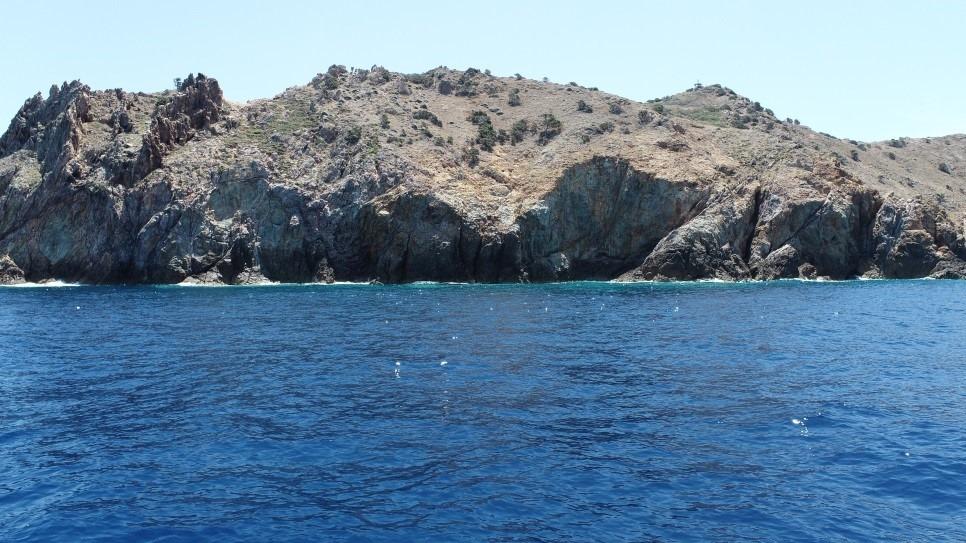
A research team from the Authority, consisting of Dr. Adonis Fotiadis (geologist), Dr. Ioannis Vakalas (geologist), and Mr. Georgios Efthimiou (field technician), conducted geological mapping work on several islets and rocky formations in the Myrtoan Sea and the Milos Island Complex. Specifically, the geological mapping covered the islets and rock formations of Falkonera, Paximadi, Antimilos, Polyaigos, Ananes, Mikri & Megali Akradia.
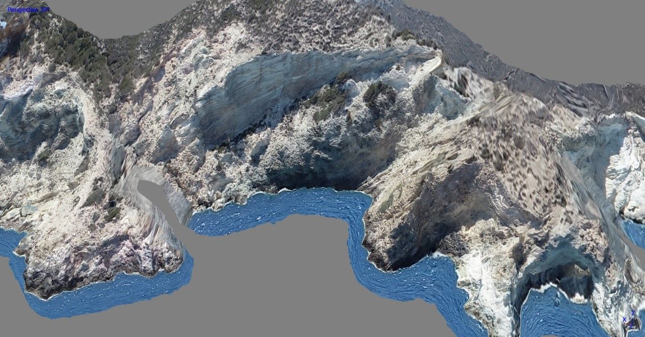
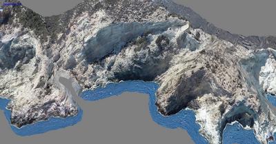
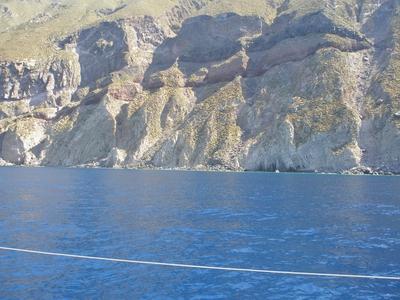
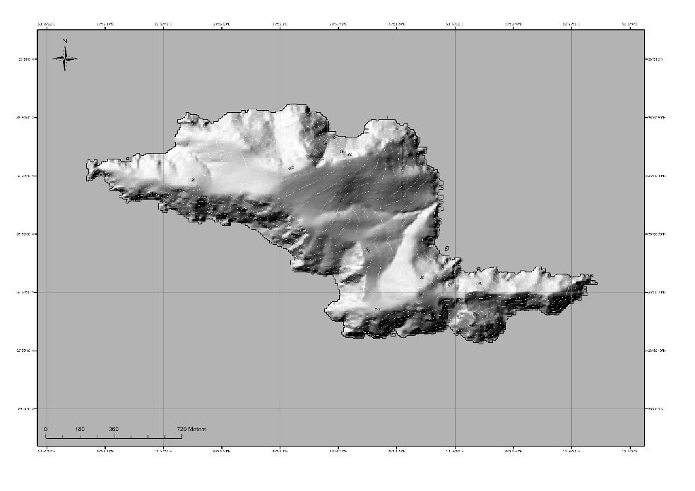
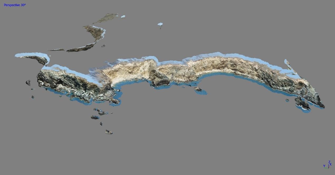
The field geological survey for this island cluster included geological cross-sections, sampling, and tectonic measurements. To ensure more accurate cartographic representation, supplementary aerial imaging was performed using a drone along selected flight paths, providing additional data that will enhance the geological map currently in preparation.
The research was carried out under the projects: “Geological mapping of islets and rock formations of the Northern and Southern Aegean Sea to complete the existing digital Basic Geological Map of Greece at a 1:50K scale” and “GEOINFRA – Geological Mapping Actions in Greece to Support Innovation and Entrepreneurship.”
*Below is photographic material from the geological mapping of the islets and rocky formations of the Myrtoan Sea and the Milos Island Complex, conducted last May.

