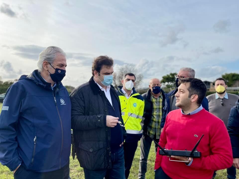
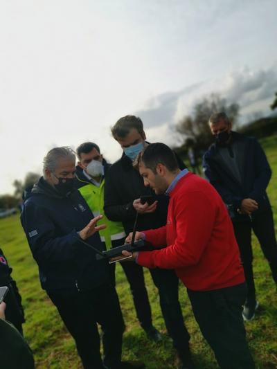
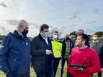
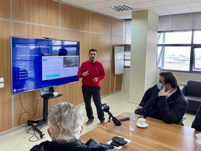
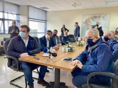
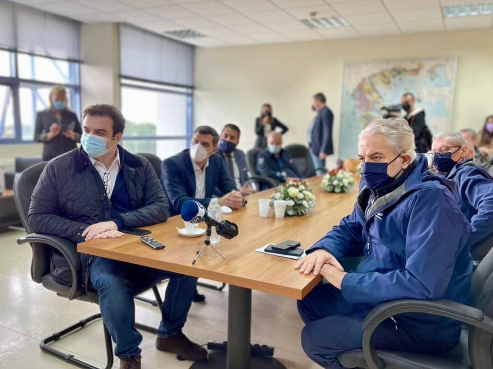
The Hellenic Survey of Geology and Mineral Exploration (H.S.G.M.E.) welcomed on Saturday, November 27, 2021, the Minister of Climate Crisis and Civil Protection, Christos Stylianides, and the Minister of Digital Governance, Kyriakos Pierrakakis, at its facilities, where a pilot drone flight was conducted for the mapping of areas at risk of flooding. The working group that has been established is initiating an effort to integrate digital technology into preventive measures for protection against natural disasters, as a consequence of the Climate Crisis.
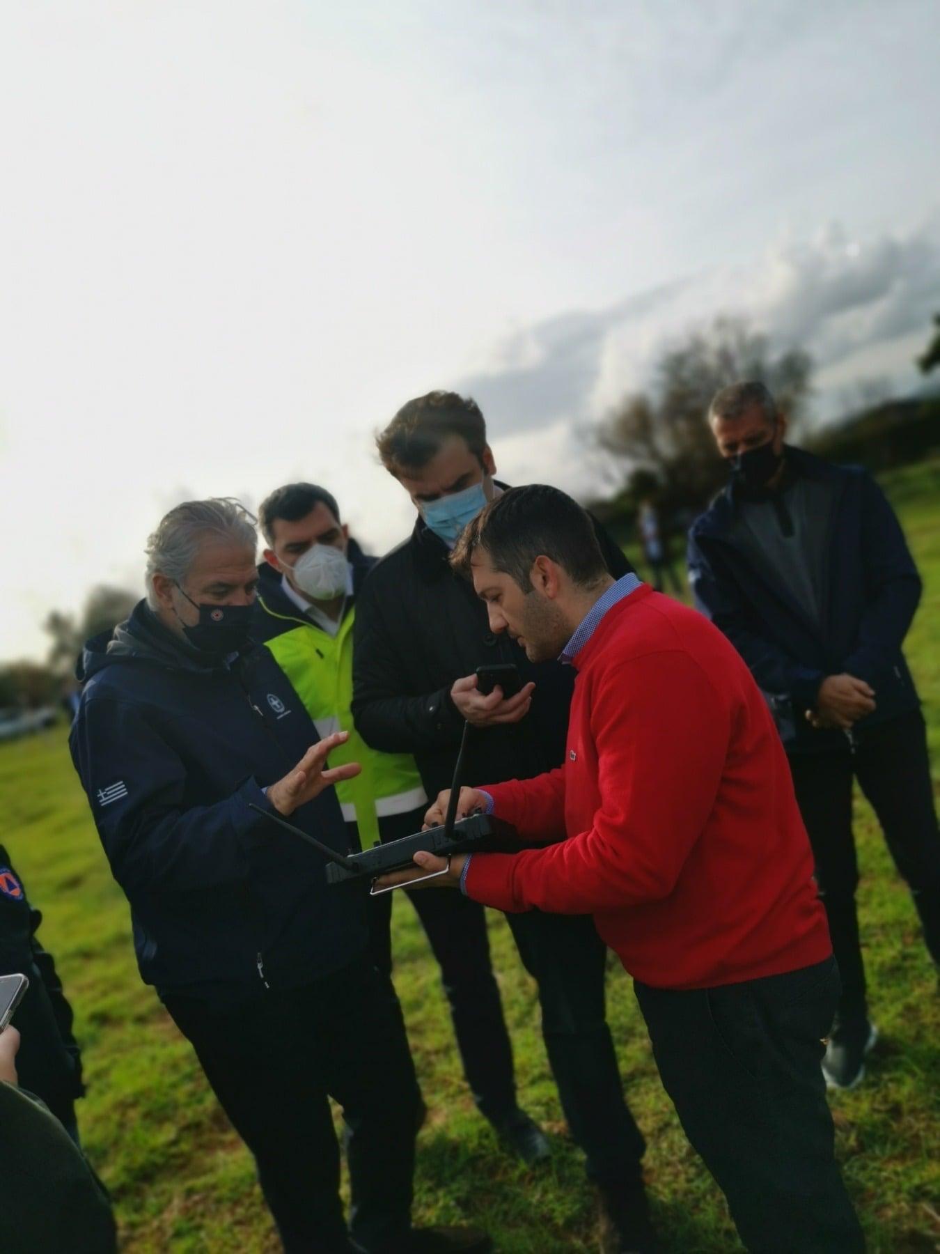
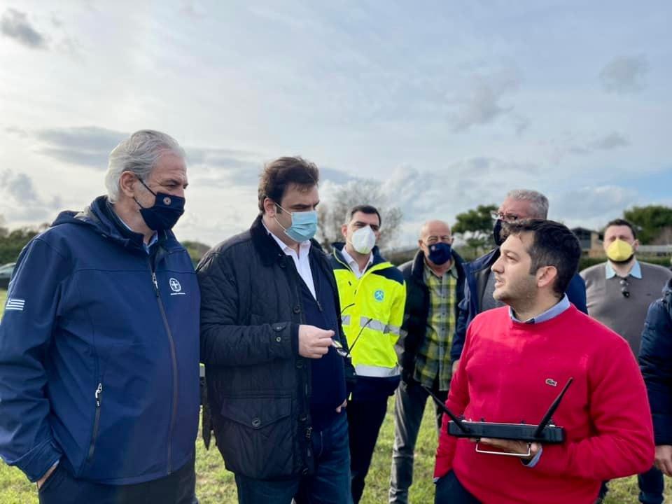
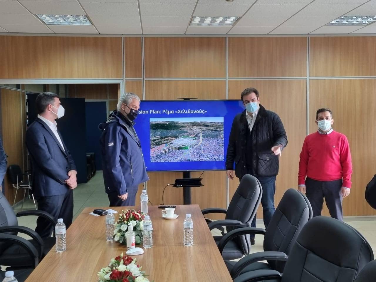
As a pilot project, the use of a drone will enable the digital mapping of the Chelidonos stream, while in this overall effort, the Hellenic Survey of Geology and Mineral Exploration (H.S.G.M.E.) will play a key role.
The drone will assist in mapping areas that exhibit particular risk characteristics—such as streams—in order to assess their condition and support the competent authorities in their restoration. With their high recording accuracy, such drones can significantly contribute to the prevention and management of natural disaster risks.
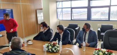
The ministers were welcomed by the General Director of H.S.G.M.E., Andreas Tsokos, and the Deputy Director of Projects, Dionysios Goutis.
